
More-than-human beings surround us in urban ecosystems — squirrels in parks, wildflowers in sidewalk cracks, foxes crossing streets at night. But in our daily routines we barely notice: we navigate cities through spaces and artifacts designed for human movement, while the lives of other species remain invisible. What if cities revealed themselves through the lives of other species instead?
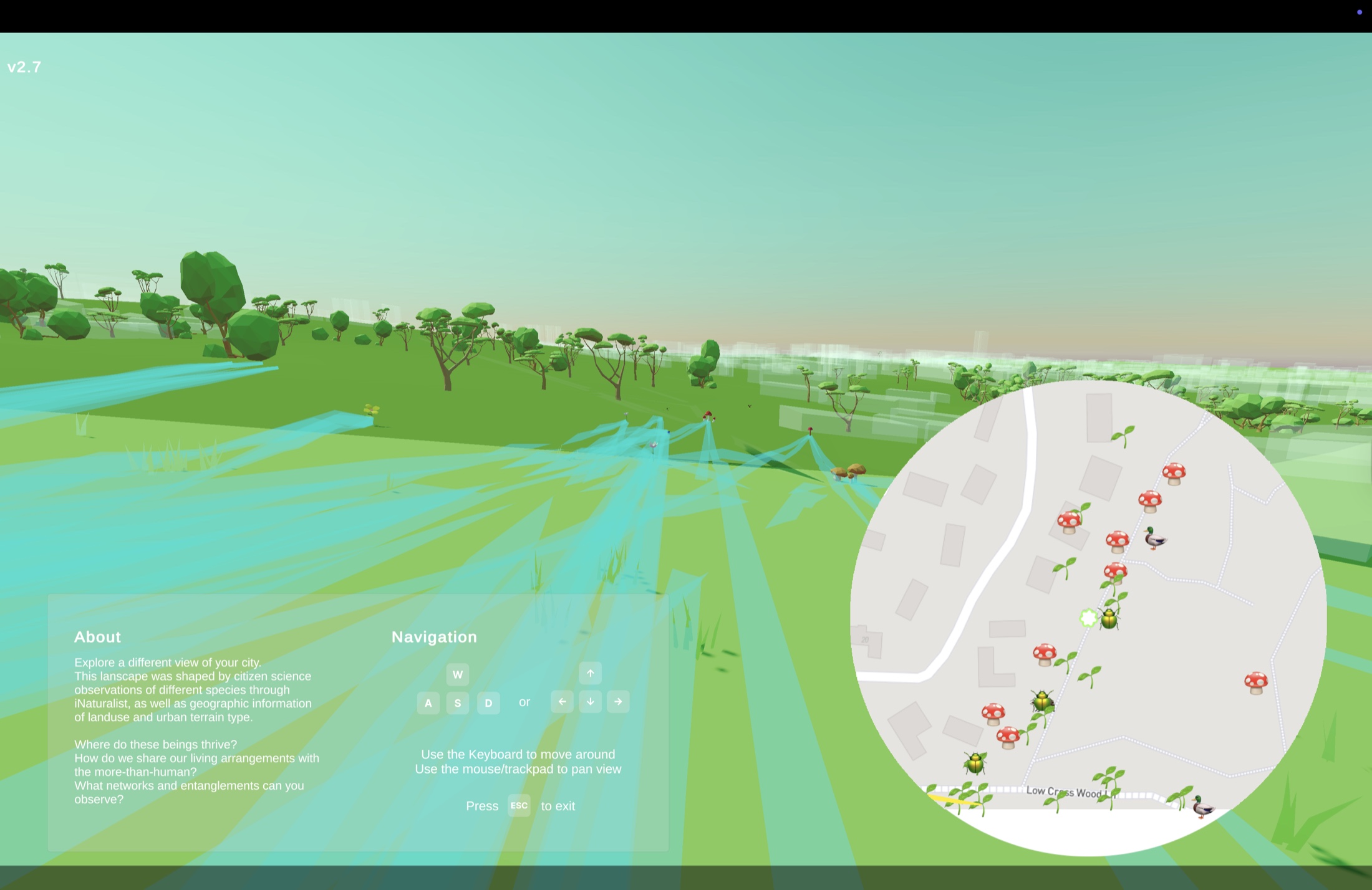
I wanted to flip this perspective: what if biodiversity data could generate its own landscape? Multispecies Environments transforms real-world species sightings from iNaturalist into a navigable virtual environment — areas rich with observations bloom with color and life, sparse zones appear muted and silent. It's a tool for noticing: a way of seeing cities not as human spaces that tolerate nature, but as multispecies communities where we're just one part of a much larger story.
MAKING THE INVISIBLE VISIBLE
Citizen science platforms like iNaturalist collect millions of observations — photos of birds, insects, plants, all documented with GPS coordinates. But scrolling through data points or pins on a map doesn't communicate where species cluster, how built environments shape their lives, or what patterns emerge across neighborhoods.
Traditional data visualization treats biodiversity as information to represent. I wanted to explore biodiversity as spatial experience — something you discover by moving through it, not just looking at it.
DESIGN CHALLENGES
- How do you translate ecological data into embodied experience rather than abstract visualization?
- How do you reveal not just individual species, but the relationships and patterns between them?
- How do you design honestly with imperfect data — acknowledging that observations show where humans can document nature, not necessarily where nature exists?
EXPLORING URBAN ECOLOGY THROUGH PROCEDURAL WORLDS
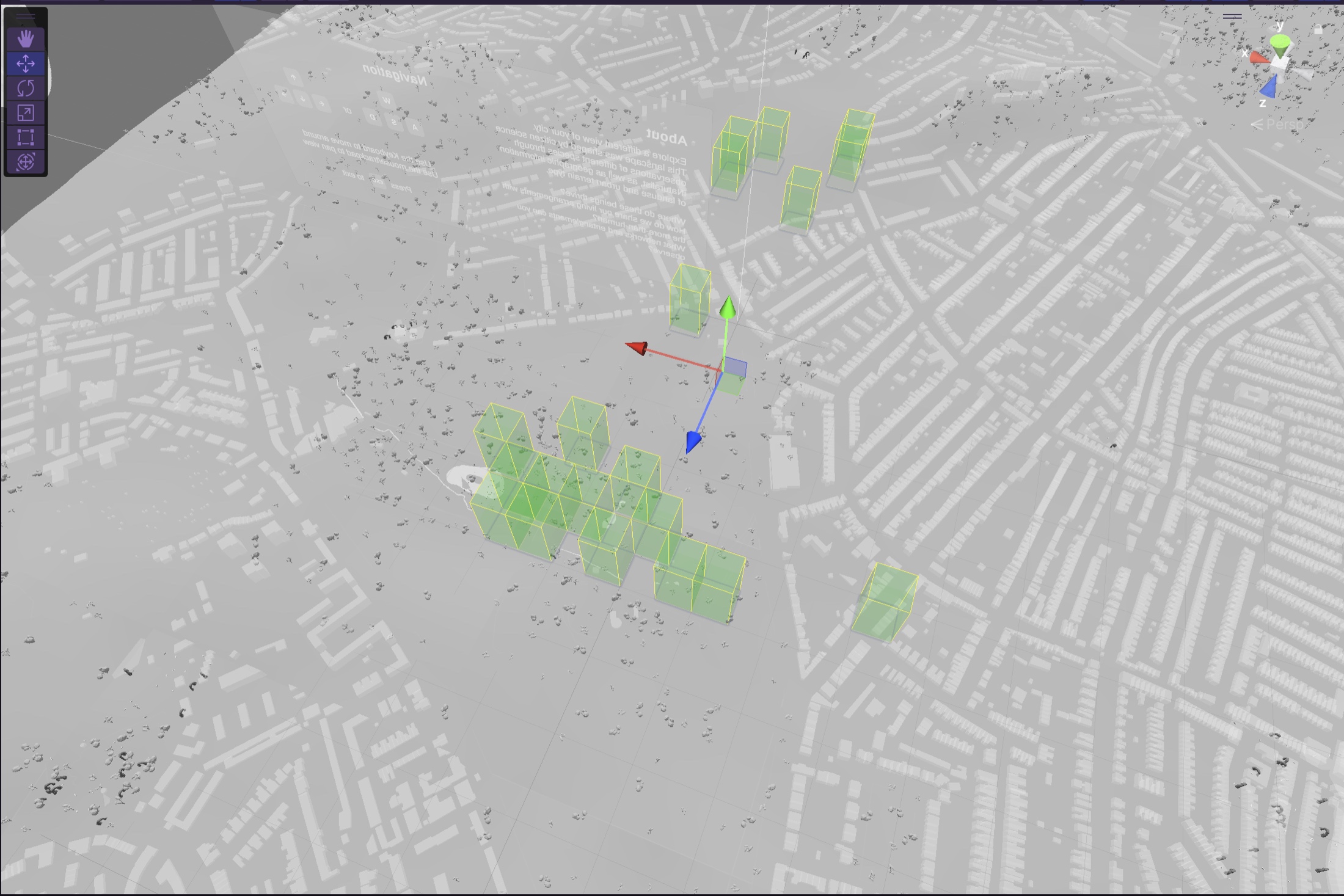
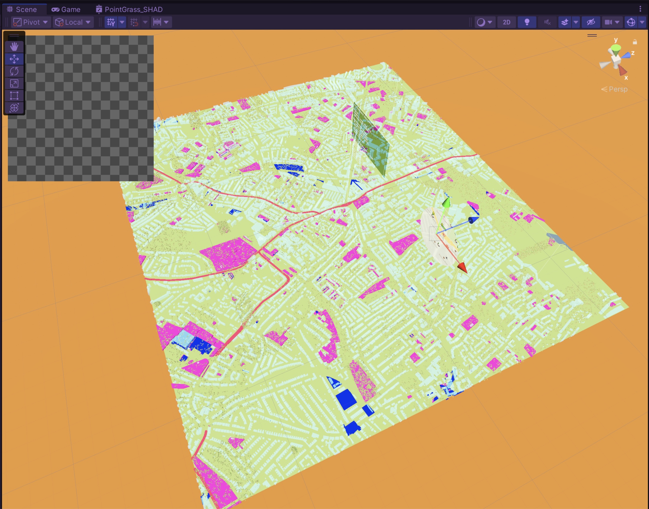
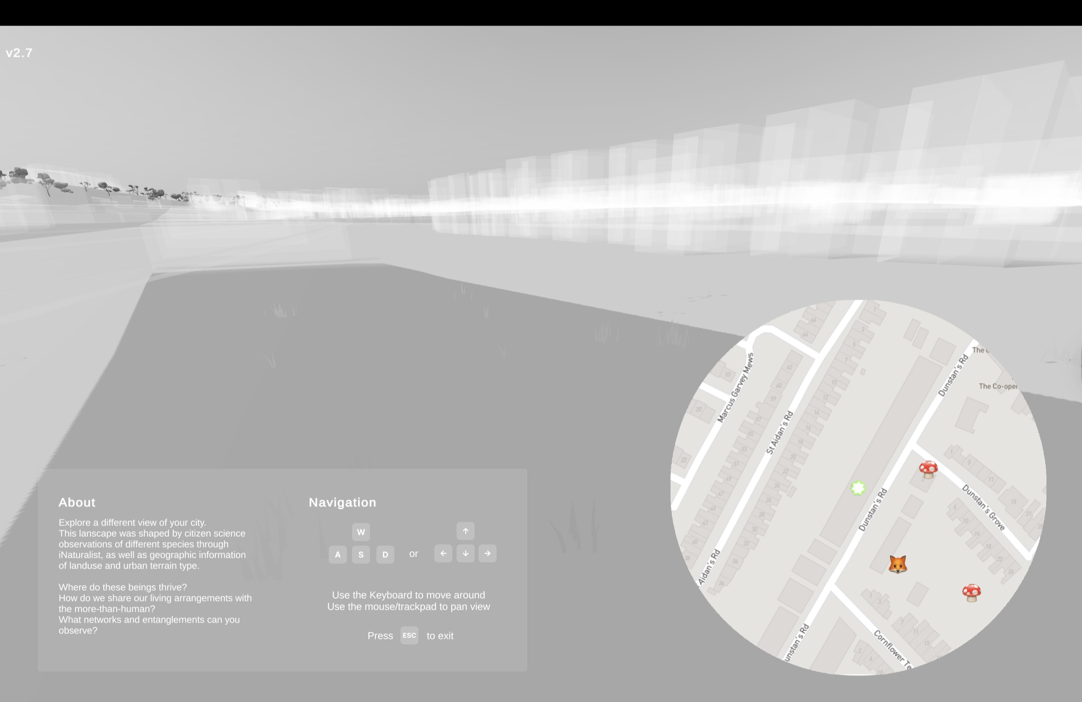
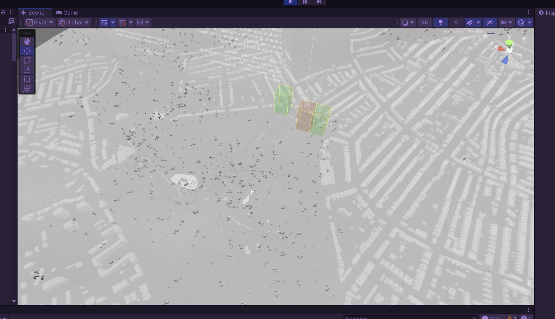
I built an interactive Unity environment that generates virtual landscapes from real biodiversity data. The system fetches recent sightings from the citizen science database — a robin in someone's garden, mushrooms in a park, butterflies near a canal — and each observation shapes the landscape: GPS coordinates become 3D positions, species density affects color saturation and visual richness, and networks connect nearby sightings to reveal spatial patterns. Vegetation spawns based on landuse data — forests, parks, residential gardens.
Walking through the terrain, you encounter observation markers; get close and they reveal the actual uploaded photo, species name, date, and the observer who documented it — bridging digital exploration and real community knowledge. Areas of high biodiversity glow with saturated color; zones with few observations appear grey and muted, creating a visceral contrast between ecological vitality and absence. The landscape updates with new observations, forming an evolving ecological portrait of urban space.
DESIGNING NEW WAYS TO SEE
This project sits at the intersection of UX/UI design, creative technology, and environmental awareness — demonstrating how thoughtful interaction design can transform abstract data into meaningful experience, fostering curiosity, connection, and new perspectives.
It doesn't solve biodiversity loss. It creates experiences that help us notice what's already there, inviting us to see cities not as human-designed infrastructure, but as living communities where design choices shape multispecies futures. In entertainment, education, urban planning, or conservation contexts, this approach to data-driven world-building offers new possibilities for engagement and awareness.
TECHNICAL NOTES
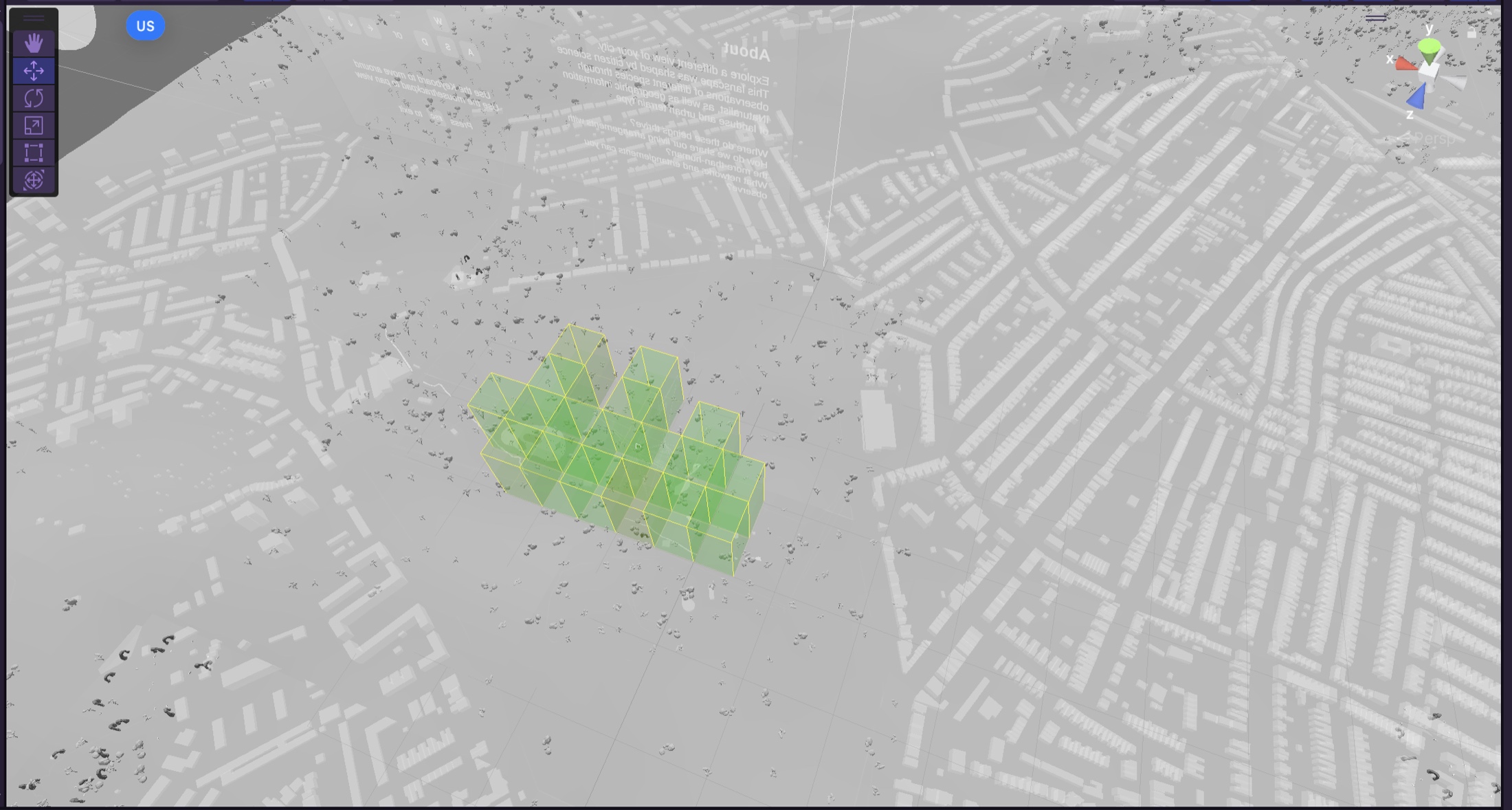
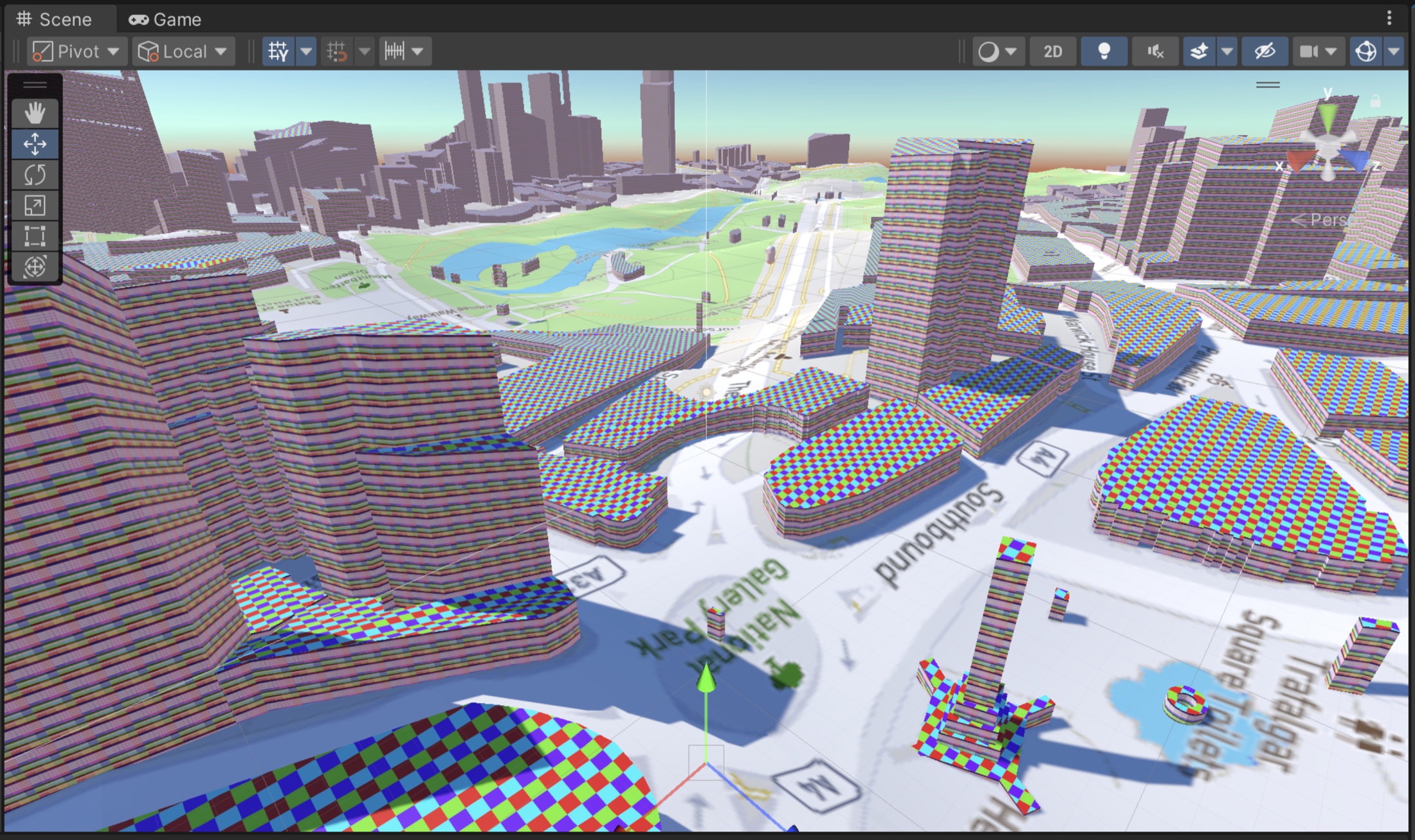
Built in Unity with real-time API integration — iNaturalist for species observations, Mapbox for terrain data. A procedural generation system uses deterministic algorithms for reproducible results, with dynamic post-processing effects that respond to calculated biodiversity metrics. Designed for web deployment with performance in mind.